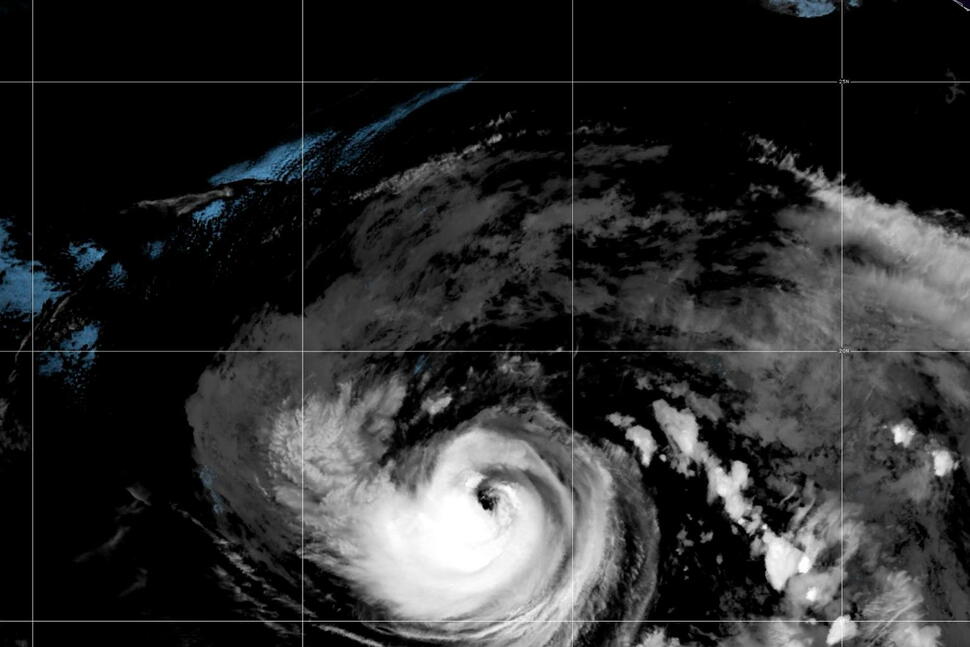
MIAMI (AP) — Hurricane Karina formed Sunday in the Pacific Ocean and could become a major storm within days, forecasters said. The cyclone’s center was at far out to sea and was not threatening land.
Karina had maximum sustained winds of 80 mph (130 kph), the Miami-based National Hurricane Center said, making it a Category 1 hurricane.
The storm is expected to undergo steady or rapid strengthening as it moves over open Pacific waters and is forecast to become a major hurricane in another day or so, the center said. A major hurricane is a Category 3 or greater with maximum sustained winds of at least 111 mph (178 kph).
On Sunday, Karina was located about 880 miles (1,415 kilometers) west-southwest of the southern tip of Mexico’s Baja California Peninsula and was moving west-northwest at 9 mph (15 kph). Its forecast path was farther out into the Pacific.
While Karina was expected to stay well away from land, swells from the storm were likely to cause dangerous surf and rip current conditions along parts of southwest Mexico and the Baja California Peninsula, the hurricane center said.
Elsewhere in the Pacific, Tropical Storm Lowell was about 985 miles (1,585 kilometers) east-southeast of Hilo, Hawaii. The storm had maximum sustained winds of 50 mph (85 kph) and posed no immediate threat to land. Forecasters said Sunday that Lowell could become a hurricane by Monday night or Tuesday.
Copyright 2026 The Associated Press. All rights reserved. This material may not be published, broadcast, rewritten or redistributed.
Photos You Should See: August 2026