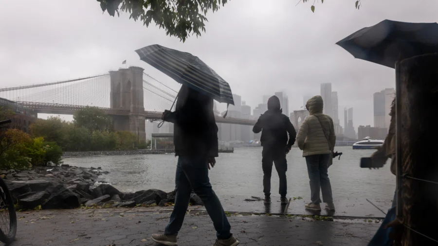

A developing nor’easter could bring the season’s first snow to parts of the Northeast later this week, along with widespread rain, gusty winds, and possible coastal flooding.
The storm is expected to arrive just after Wednesday’s Veterans Day parades and ceremonies, develop Thursday, and continue into the weekend, with snowfall most likely in mountainous areas of New York and New England.
Some of the first snow could arrive Thursday in the highest elevations of the southern Adirondacks and southern Green Mountains, where an inch or less is possible during the day. As colder air moves into the region, precipitation could change from rain to wet snow in higher elevations Thursday night into Friday.
NWS in Albany said those mountain areas have a 60 to 70 percent chance of receiving at least 2 inches of snow during the storm. Accumulation is most likely above 1,500 feet, while valleys could see a rain-snow mix by Friday night.
Rain is a bigger concern at lower elevations and in major metropolitan areas. NWS in New York said the system could bring rain and gusty winds Thursday into early Saturday.
Coastal communities could face minor flooding during high tides Thursday and Friday, particularly along Long Island’s South Shore and the southwestern Connecticut coast, according to the NWS in New York.
NOAA’s winter outlook this year is influenced by a very strong El Niño, a climate pattern expected to shift the jet stream southward and eastward—increasing the likelihood of stormier weather across the southern United States this winter season.